Trails & Maps
Sleeping Giant Park Association constructed and now maintains the 32-mile backcountry trail system at Sleeping Giant State Park. From the challenging Blue Trail to the moderate Nature Trail, there is something for everyone at the Giant.
The modern-day trail system was designed and constructed by Ned Greist and Dick Elliott from 1957 – 1960, and is one of the best hiking networks in the state. In 1977, the trail system became the first trail in Connecticut to be recognized by the Secretary of the Interior as a National Recreation Trail.
Popular Trails at the Sleeping Giant
-
 Tower Path
-
 1.5 miles
-
 Easy
Easy
-
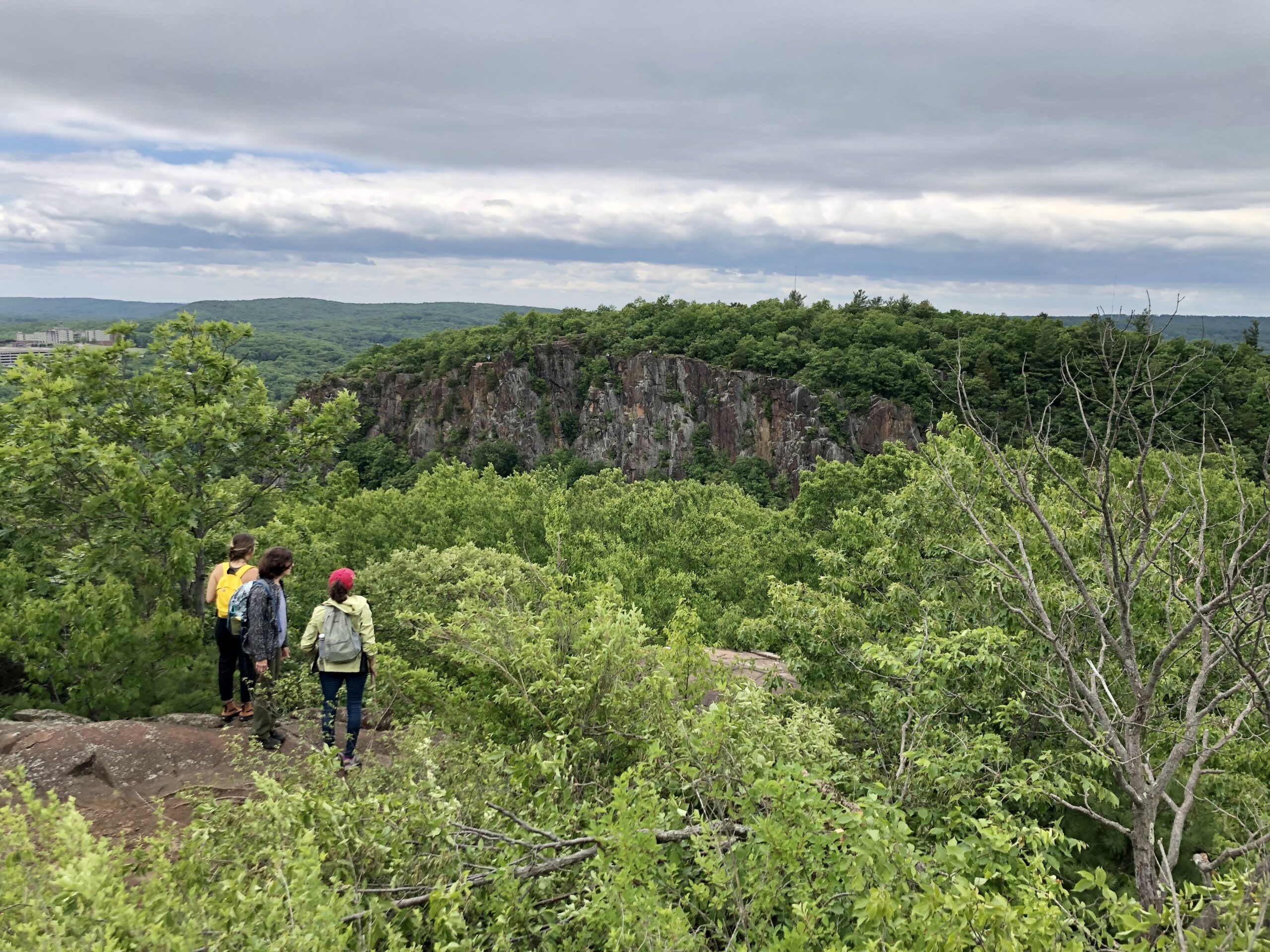
 A popular trail for first-time visitors, the tower path is the easiest route up the Giant. A wide, gravel path gently climbs to the tower with 360-degree views.
-
 Nature Trail
-
 1.5 miles
-
 Moderate
-
 A hidden gem, the Nature Trail is a moderate loop that makes for a great family outing. With numbered stations along the way, visitors can learn about the natural history of the park’s flora and fauna. Learn more here.
-
 Red Circle Gorge
-
 0.75 miles
-
 Difficult
-
 From the trailhead on Tuttle Ave, the Red Circle Trail follows one of the most beautiful geologic features on the Giant - an incredible gorge complete with cascades and pools. The gorge ends just before Red intersects with Violet.
-
 Blue Trail
-
 5.1 miles
-
 Very Difficult
-
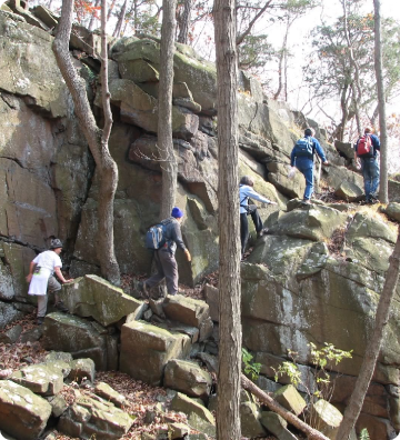
 The Blue Trail at Sleeping Giant comprises the eastern portion of the 20-mile Quinnipiac Trail, part of CT’s 800+ mile Blue-Blazed Hiking Trail. Traversing the Giant from head-to-toe, this is the most difficult trail at the park and rewards intrepid hikers with great views along the way.
Discover Every Trail with Free Maps
SGPA produces and prints trail maps for the park’s visitors. Printed trail maps are available at the kiosk near the main parking area, but we encourage visitors to save paper by downloading a digital version of the map here.
A free, mobile-friendly, GPS-enabled map is available for download on the Avenza Maps app. Simply download Avenza Maps, and search for “Sleeping Giant State Park” in the map store. Once downloaded, your location will display on the map and you can track your hikes, all without using cellular data.

Where to park at Sleeping Giant State Park?
200 Mt. Carmel Avenue, Hamden – This is the main parking lot for the park, and provides access to most trails on the Giant, including the Tower Path and Nature Trail. If it is your first time visiting the park, you should plan to park here (Google Pin HERE).
Chestnut Lane – A popular access point for the eastern side of the park, this parking area is located at the end of Chestnut Road, just before it turns into Blue Trail (Google Pin HERE).
Others – Additional parking areas are located along Tuttle Avenue (at the northern trailhead for the Red Diamond and Red Circle trails); Mount Carmel Avenue (at the southern trailhead for the Red Circle and Red Square trails); and on Mansion Road (at the northern trailhead of the Red Square trail).
Parking Fees – Thanks to Connecticut’s “Passport to Parks” program, parking is free for all vehicles registered with a Connecticut license plate. From April 1 through October 31, out-of-state vehicles are subject to a $15 parking fee on the weekends, and a $10 parking fee on weekdays.
If You See Something, Say Something
The Sleeping Giant Trail Crew is committed to keeping all 32 miles of trails clear and open. If you see a hazard or obstacle on your hike, such as a downed tree, damaged bridge, or vandalism, please use this form to report the issue.
Your report will ensure that our volunteers can address the issue as promptly as possible.


